| |
|
![]() John Speed .:. England [2]
John Speed .:. England [2]
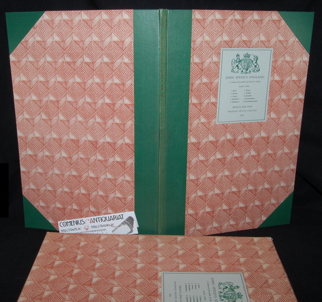
Arlott, John [ed.], John Speed's England. A coloured facsimile of the maps and text from the Theatre of the Empire of Great Britaine, first edition 1611. Part II. London: Phoenix House, 1953. 11 Seiten Text mit Abbildungen + 10 doppelseitige Karten. Halbleinenband im Schuber, Folio 47 x 41 cm. 1568 g * Edited and introduced by John Alott. Part 1 contains Kent, Sussex, Surrey, Berkshire, Middlesex, Essex, Suffolk, Norfolk, Hertfordshire, Buckinghamshire. - Wegen zu feuchter Lagerung gewölbt / verzogen, Kellergeruch. John Speed | Geodaesie | Kartographie | Faksimiledruck | Reprint | Geographie | Grossbritannien |
 |
|
|
|
bibliopolis.ch @ Comenius-Antiquariat | Aktuell | Kontakt | Übersicht | © Samuel Hess |
